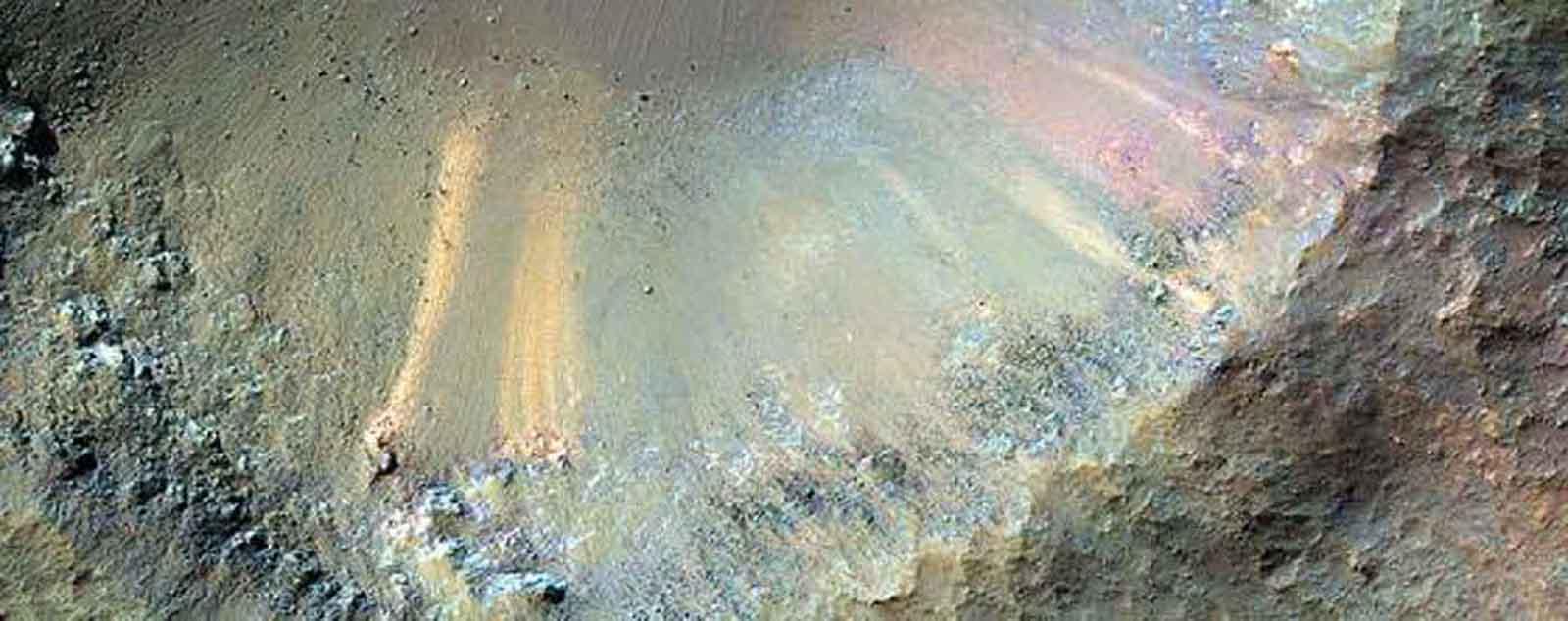
New technology could show planet-wide images of Mars and the Moon, with resolution down to the size of a cell phone.

The easiest way to detect evidence of aliens is straightforward: just scrunch up your eyes and look for it.
In fact, there's a long history to this easy-peasy strategy. Four hundred years ago, Johannes Kepler peered through a low-grade telescope and claimed he saw fortified towns on the moon.
Kepler was wrong, but that didn't stop some of his successors from adopting his approach. Nineteenth-century astronomers in Italy and the U.S. were sure as eggs they had seen alien-built canals braiding the surface of Mars. Today, amateur sleuths enthusiastically sift through NASA's stock of rover and orbital photos and seem to have little trouble finding everything from scowling faces to small mermaids in the martian dirt - purported evidence that intelligent beings have infested the Red Planet.
However, despite the fact that this approach has produced nothing but false alarms, a new technique developed in England may give observers a shot at espying something real.
Historically, a fundamental problem with finding alien technology on another planet or moon was that it relied on low-resolution imagery, which is to say views with limited detail. In the case of the martian canals, Victorian era telescopes couldn't resolve anything smaller than about a second of arc, which at best corresponds to objects at least 150 miles across. That means anything smaller should be invisible, and you'd think that astronomers would flinch at the idea of canals as wide as New Jersey. But they didn't. Rather, they trusted their eyes, and suggested that the canals were bordered by wide swaths of vegetation. Straining to see something at the limit of their equipment, these observers were fooled into thinking they had witnessed something important.
Today, we have rovers actually motoring around the surface of Mars, and obviously they can see extremely fine detail. But the rovers only examine a small fraction of the martian landscape. The sharpest eye in the skies above Mars - a camera that could, in principle, map much more of the planet - is the HiRISE camera on the Mars Reconnaissance Orbiter. From its perch 15 thousand miles above the surface, it has a resolution of about 10 inches per pixel. In other words, it could - with difficulty - see a white dinner plate on Mars. As a single spot.
Impressive. But a new scheme for sharpening orbiter imagery, developed by researchers at University College London (UCL), could improve this resolution by five times.
The basic idea is easy to grasp. If you mount your camera on a tripod and snap multiple pictures of a static landscape, the resulting series of photos will all be the same (disregarding noise in the camera). Each pixel will record the same splotch of landscape. There would be little gain in somehow combining these multiple photos.
But now consider dispensing with the tripod and hand-holding the camera. The pictures are no longer identical, as the array of pixels "move around". There's information in the ensemble of photos about detail smaller than individual pixels, and with the right analysis, you can produce a higher resolution result than is possible with a single picture.
This is what the UCL research team has done. When applied to HiRISE's repeated orbital scans of the martian landscape - each one of which is slightly different - they can tease out details as small as an expresso cup. Rover tracks - barely discernable in conventional photos from orbit - become as obvious as vaudeville humor.
Now this is a technical advance, and frankly there's not much new science in better pictures of rover tracks. But here's the promise: This scheme, which could in principle take advantage of "big data" computational power, might eventually allow orbiters to generate ultra-high resolution images of all the Red Planet. It would be a kind of Google Earth for Mars, but with much better photos. Using the UCL sharpening technique, I reckon HiRISE could map the Red Planet with the kind of detail that you'd get from a camera-carrying drone sailing 500 feet above the ground.
So what could you find with pictures like that? You'd certainly have a better chance of understanding the geological (and hydrological) history of Mars. That would be more than a little interesting. And maybe you'd find evidence of ancient surface biology, although I'm not inclined to bet on that.
But here's another idea. Many people - from scientists to sci-fi writers - have ruminated on the possibility that Earth was long ago discovered by another society. After all, the planet's been sitting around for more than four billion years. If anyone has ever visited our world, it's possible they left a calling card. And just as in Arthur C. Clarke's story "2001", they would have realized that leaving an artifact on the Moon would be a better deal than situating it on Earth. That's because weather and tectonic activity would eventually obliterate any alien time capsule abandoned on our planet. But not on the moon.
Techniques such as that developed by UCL could turn lunar orbital photos into high-res imagery that anyone could peruse on the web. We could see technology the size of a cell phone, assuming a setup similar to HiRISE. And indeed, NASA's Lunar Reconnaissance Orbiter is literally in a position to do this.
Do I believe there's really an extraterrestrial time capsule on the Moon just waiting to be discovered? Admittedly that's a long shot. But it's a better shot than examining rover photos for mermaids.


