A new paper in GSA Bulletin (Geological Society of America) describes evidence of liquid water at or near the surface of early Mars, suggesting the presence of lakes or seas. Further, geological formations on the surface of Mars were shaped by these bodies of water, as well as by winds and dust.
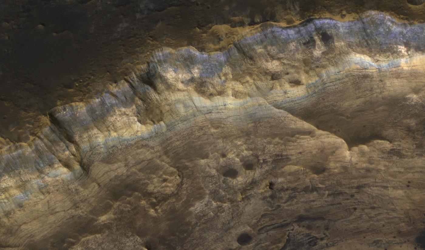
Data was collected by the High Resolution Imaging Science Experiment (HiRISE) and Compact Imaging Spectrometer for Mars (CRISM) instruments onboard the Mars Reconnaissance Orbiter. Specifically, the images analyzed come from across the Mawrth Vallis region of Mars, one of the biggest valleys on that planet. The images also revealed:
- Sedimentary deposits of weakly altered materials interbedded with highly altered clays in the rim of Muara crater on Mars reveal a range of subaerial and subaqueous depositional settings.
- Extensive phyllosilicate alteration in some layers reflects deposition of weathered materials in martian lakes or seas.
- Evidence for young slope failures and landslides in inverted terrane is consistent with a significant water ice component today in the clay-rich sediments.
The lead author on the paper is Donald R. Lowe (Stanford University), and two of the co-authors include Janice Bishop and Ross Beyer of the SETI Institute.
"Lakes and fringing alluvial systems dominated surface environments on many parts of early Mars," said Lowe. Bishop added, "The variable mineralogy of these clay-rich layers reflects alteration in a number of associated surface environments."
The paper is open access and is available here. It appeared in the January 2020 issue of GSA Bulletin.


